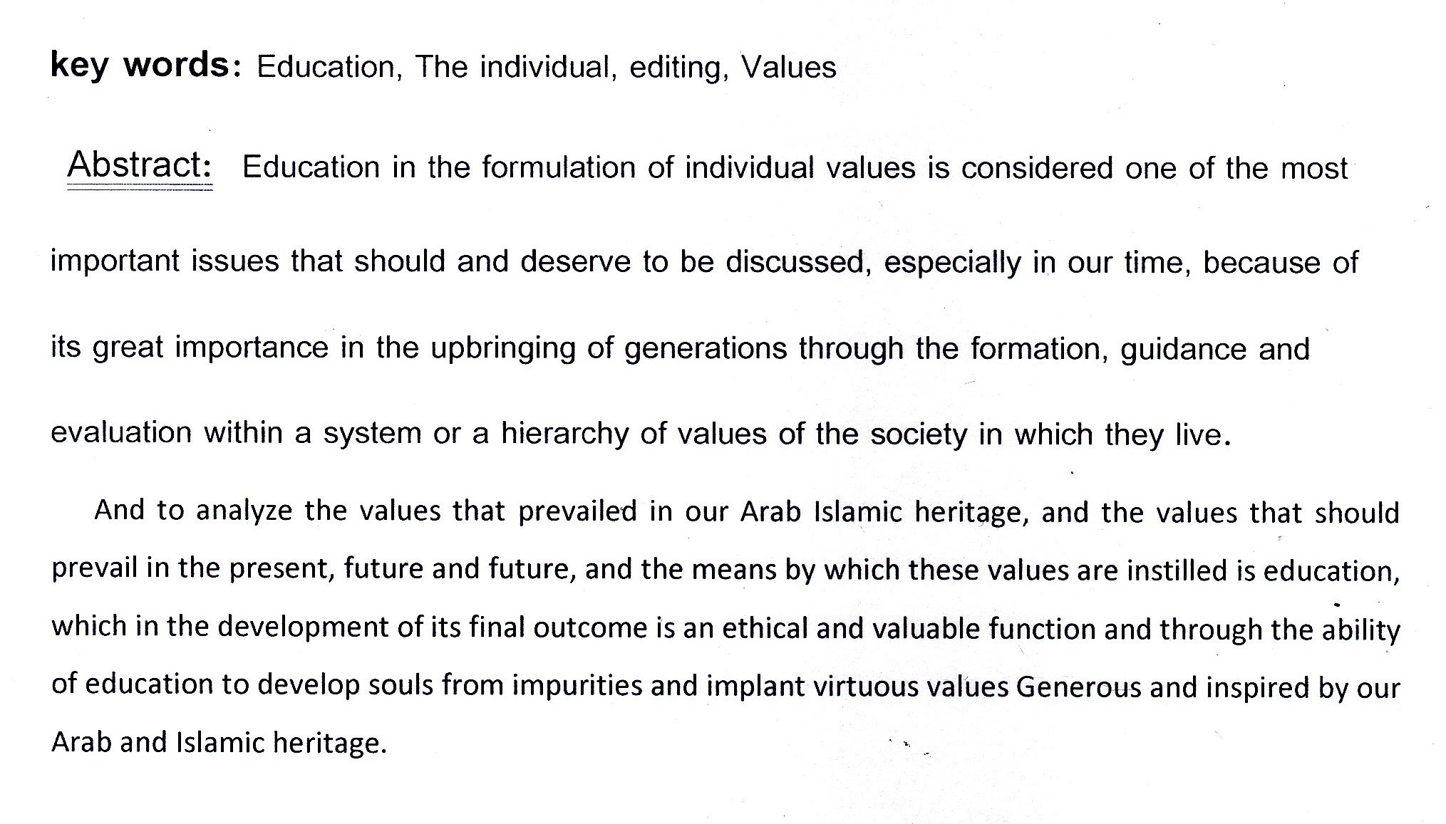
the role of educcation in shaping individual values

ان المشكلة البحثية تتحدد في ان المهام والادوات التي تملكها السلطة التنفيذية، من الصعوبة تركها من دون رقابة، والرقابة والتقييد ياتي من اطراف عدة، واهمها: السلطة التشريعية، فالبرلمان في العراق منح اختصاصات للنظر في اعمال واداء السلطة التنفيذية بما يضمن تقيدها بالدستور الاتحادي. والهدف من هذا البحث هو الاشارة الى اهمية الاختصاصات الممنوحة للبرلمان العراقي، بما يضمن التاسيس لدولة القانون، اي وجود مرجعية قانو
... Show Moreتمهيد
غالبا ما يكون تعامل المنظمات المالية والمصرفية مع الزبائن بشكل أساسي مما يتطلب منها جمع كميات هائلة من البيانات عن هؤلاء الزبائن هذا بالإضافة الى ما يرد اليها يوميا من بيانات يجعلها أمام أكداس كبيرة من البيانات تحتاج الى جهود جبارة تحسن التعامل معها والاستفادة منها بما يخدم المنظمة.
ان التعامل اليدوي مع مثل هذه البيانات دون استخدام تقنيات حديثة يبعد المنظمة عن التط
... Show More
The research aimed to identify the effect of educational complexes use among the students of the first year students in Quran modernists curriculum department of Quran sciences and Islamic education . The research consisted of ( 60 ) male and female members , ( 30 ) represented the experimental group and ( 30 ) represented the controlled group . the group were randomly selected . for the prepared an achievement test included thirteen questions . Results were processed by using descriptive and statistical analyses to answer the questions of the study . also the researchers used suitable and typical and dual difference analysis . in the results , the researchers recommended a number of recommendations
This research is concerned with the study of (the dialectic of the familiar and the unfamiliar in Islamic photography), and it consists of four chapters.
If you dealt with the problem of the research subject (the dialectic of the familiar and the unfamiliar in Islamic photography, as it appeared realistic, familiar forms and strange and strange unfamiliar forms represented in many of the main schools of Islamic photography that emerged in Iraq and Persia and then the Ottomans and the However, Islamic painting still retains those previously witnessed and unseen images, which pose themselves forcibly in the form of many questions that must be faced and studied by investigation, observation, extrapolation and conclusion through scientifi
The Sound of the letter (ق) in the Contemporary Arabic Dialects
Poor impurity in the right of the patient and the elderly
research aim :
- The research aimed to investigate the effect of two treatment
methods in the gaining of fourth grade students in geography
object.
- Research hypothesis
there are no statistically significant differences at the level of ( 0.05 )
in the average level of achievement in geography between the first
experimental group ( strengthening lessons ) and the second group
( re- teaching )
no individual differences statically significant at the level of ( 0.05 )
in the average level achievement in geography object of the second
experimental group ( re- teaching ) and the first experimental group
( strengthening lesson )
the research sample : the researcher selected randomly Baghdad
Suffer most of the facilities of the high cost of inventory , which affects the high cost of the product and thus affects many administrative decisions , as well as suffer the facilities of the systems developed by the provisions of inventory control , and this problem is exacerbated in the construction sector where the inventory in the form of Construction spin of the Year for another it becomes difficult to control the cost effectively , and is the research problem in question follows: What are the implications of the use of the system in time inventory accounting system for the contracting company does kills Alrkaah to the provisions of the cost of inventory and what is the optimal approach to inventory control ? Find assumed
... Show More
The study consisted in the development and use of a practical method to detect and
monitor, analyze and produce maps of changes in land use and land cover in the district of
Mahmudiya in Baghdad during the period 1990-2007 using the applications of remote sensing
techniques and with the assisstant of geographic information systems (GIS),as a valuable
contribution to land degradation studies.
This study is based maiuly on the processing on two subsets of landsat5 TM images picked up
in August 1990 and 2007 respectively in order to facilitate comparision and were thengeometrically and radiometrcally calibrated ,to used for digital classification purposes using
maximum liklihoods classification or six spectral bands of