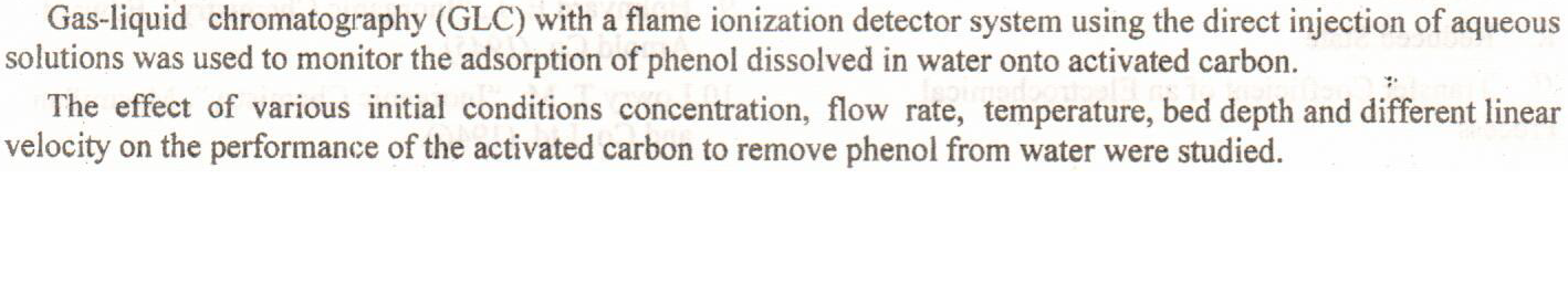
Removal of Phenol from Water by Adsorption
The adsorption ability of Iraqi initiated calcined granulated montmorillonite to adsorb Symmetrical Schiff Base Ligand 4,4’-[hydrazine-1, 2-diylidenebis (methan-1-yl-1-ylidene)) bis (2-methoxyphenol)] derived from condensation reaction of hydrazine hydrate and 4-hydroxy-3-methoxybenzaldehyde, from aqueous solutions has been investigated through columnar method.The ligand (H2L) adsorption found to be dependent on adsorbent dosage, initial concentration and contact time.All columnar experiments were carried out at three different pH values (5.5, 7and 8) using buffer solutions at flow rate of (3 drops/ min.),at room temperature (25±2)°C. The experimental isotherm data were analyzed using Langmuir, Freundlich and Temkin equations. The monol
... Show MoreThe main object of the current work was to determine the antifungal efficiency of secondary metabolites product called synephrine that extracted from Citrus sinesis peels and the ability of synephrine to biosynthesis gold nanoparticles from HAucl4 which consider environmentally favourable method, then determine their activity against pathogenic human dermatophyte. The identification of synephrine done by Thin layer chromatography (TLC), High Performance Liquid Chromatography (HPLC) and The Fourier Transform Infrared (FTIR). The characterization of gold nanoparticles by using Ultra Violet-Visible Spectroscopy (UV-Vis), Field – Emission Scanning Electron Microscopy (FESEM) and Fourier Transform Infrared (FTIR), confirmed the biosynt
... Show MoreMany reasons combined behind the Standing of U.S. against Britain in its aggression against Egypt in 1956; the consensus of world opinion on the need to stop the aggression and the fear of the Soviet military intervention which mean a new world war.
United States desired to weaken British influences in the region in general to get new oil gains in the Arabian Gulf and Egypt at the expense of Britain. The exiting of Britain from the area served U.S. strategic interests in the Middle East in general and Egypt in particular to keep the flow of oil for U.S advantage.
The United States wanted to keep its image in the region to apply its future political projects including Eisenhower Project, which intended to take the position of Britis
The mucilage was isolated from mustard seeds and identification by some different methods like, thermo gravimetric, FTlR., X-ray powdered, proton NMR, FTIR spectra of the three gums contain different functional group in the gums, major peaks bands noticed were belong to OH (3410.15 – 3010.88) group from hydroxyl group, CH aliphatic (2925-2343.51), C-O (1072.42-1060.85) group and C=O 1743.65, Thermo chemical parameters of mucilage was evaluated and compared with the standard gums, Results indicated the mucilage was decomposed in 392°C and mass loss 55%, The X ray process found the mucilage had single not sharp peak
... Show MoreThis work aims to study the exploding copper wire plasma parameters by optical emission spectroscopy. The emission spectra of the copper plasma have been recorded and analyzed The plasma electron temperature (Te), was calculated by Boltzmann plot, and the electron density (ne) calculated by using Stark broadening method for different copper wire diameter (0.18, 0.24 and 0.3 mm) and current
of 75A in distilled water. The hydrogen (Hα line) 656.279 nm was used to calculate the electron density for different wire diameters by Stark broadening. It was found that the electron density ne decrease from 22.4×1016 cm-3 to 17×1016 cm-3 with increasing wire diameter from 0.18 mm to 0.3 mm while the electron temperatures increase from 0.741 to
Two different polyvinyl alcohol/polyvinyl chloride (PVA/PVC) hollow fiber composite nanofiltration membranes were prepared after PVC hollow fiber membranes were coated using dip-coating method with PVA aqueous solution, which was composed of PVA, fatty alcohol polyoxyethylene ether (AEO9), and water [PVA/AEO9/water (4:0.5:95.5) wt%]. Effect of two different PVC hollow fiber immersion times in coating solution were studied. Cross-section, internal and external surfaces of the PVC hollow fibers and PVA/PVC composite nanofiltration membranes structures were characterized by scanning electron microscopy (SEM), pure water permeation flux and solutes rejection. It was found that, the coating layer thickness on the outer surface of the 19 wt% P
... Show MoreA Genetic Algorithm optimization model is used in this study to find the optimum flow values of the Tigris river branches near Ammara city, which their water is to be used for central marshes restoration after mixing in Maissan River. These tributaries are Al-Areed, AlBittera and Al-Majar Al-Kabeer Rivers. The aim of this model is to enhance the water quality in Maissan River, hence provide acceptable water quality for marsh restoration. The model is applied for different water quality change scenarios ,i.e. , 10%,20% increase in EC,TDS and BOD. The model output are the optimum flow values for the three rivers while, the input data are monthly flows(1994-2011),monthly water requirements and water quality parameters (EC, TDS, BOD, DO and
... Show MoreCultured fruits of theCorundum Coriandrum sativum were sown On 11/11 / 2008 in basins containing 15 kg of soil (Silty Loam) .Fruits were divided into two parts the first was soaked in normanl water and the second was magnetized for a period of 24 hours Irrigation was up to (75% of capacity field.Two types of water (normal water and magnetized water)with three repetitions were used the access to magnetic water was supplied from a special electric device. Recorded measurements were plant height the number of stems / plant, weight of plant, number of flowers, 1000 seed weight) during the cultivation period, which ended on 11/5/2009. Results indicated the absence of any effect of magnetic water on plant growth of Fenugreek while seeds tre
... Show MoreHerein, date palm (Phoenix dactylifera) bunch (DPB) waste was transformed into activated carbon (DPAC) adsorbent by using microwaveinduced ZnCl2 activation for 15 min at a power of 600 W. Several analytical methods were used to explain the physicochemical parameters of DPBAC including XRD, pHpzc, BET, SEM–EDX, and FTIR. Afterwards, the adsorptive performance of DPBAC was thoroughly investigated for the removal of two structurally different organic dyes namely methyl violet (MV) and fuchsin basic (FB). The key adsorption parameters, including the dose of DPBAC (A: 0.02–0.06 g), the solution pH (B: 4–10), and the contact time (C: 2–20 min) were statistically optimized using the Box-Behnken design with response surface methodology (RSM
... Show More